Sansi Tops hike
Hike over a low ridge to get into wild valleys in the mountains east of the Badaling pass, and then climb up on to a high ridgeline to get a look at an unnamed 1,200m peak.
Booking info
Saturday, July 1
¥380 / ¥340 for members
Pay on the day of the hike. More about payments
This hike starts off on an old trail between Sansi and Sisi Villages. The village names mean, roughly, Third Division and Fourth Division, and the soldiers stationed here during the Ming Dynasty were part of Beijing’s defense system against raiders coming down through the Guanting Plain.
We’ll hike out the back of Sansi village, and then head up a valley, aiming for a low pass on the ridge. It’s an easy walk to begin with, and gets steeper near the pass.
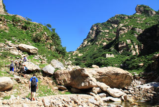
We then head down into the valleys on the other side. These valleys are a long way from any other villages, and it appears they’re no longer actively farmed. That means the trails here are a little overgrown and scratchy.
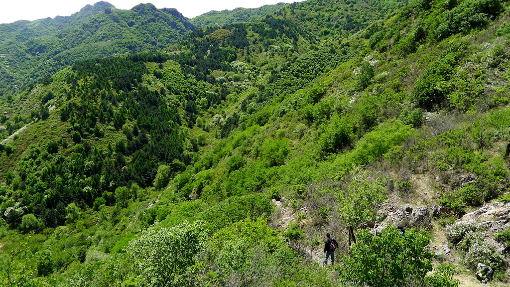
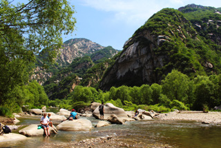
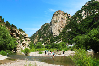
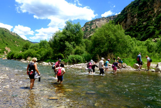
A rocky track takes us down into the forest, and eventually to a small stream coming out of another valley. If we kept going downstream, we’d end up at Sisi Village.
But that would mean the hike would be too short. Instead, we’re going to turn up into the valley and go higher into the mountains.
We’ll head upstream, following a faint track beside the stream, eventually coming out into a broader, more open part of the valley.
At the top of this valley is an unnamed 1,200m peak, and that toward that peak is where we’re headed.
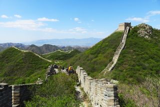
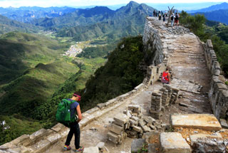
To get up to the peak we take a turn on to a steep track that gets us up on to a high ridgeline, and from this point the views on the hike really open up.
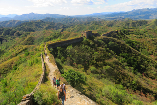
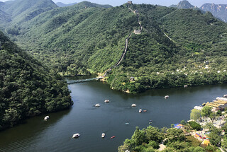
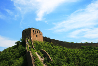
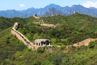
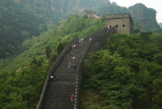
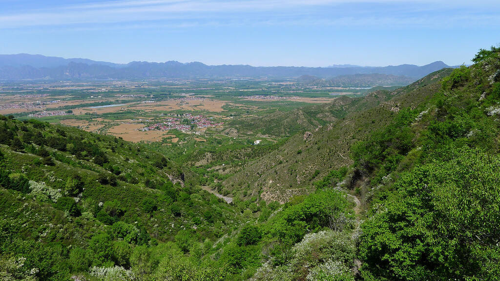
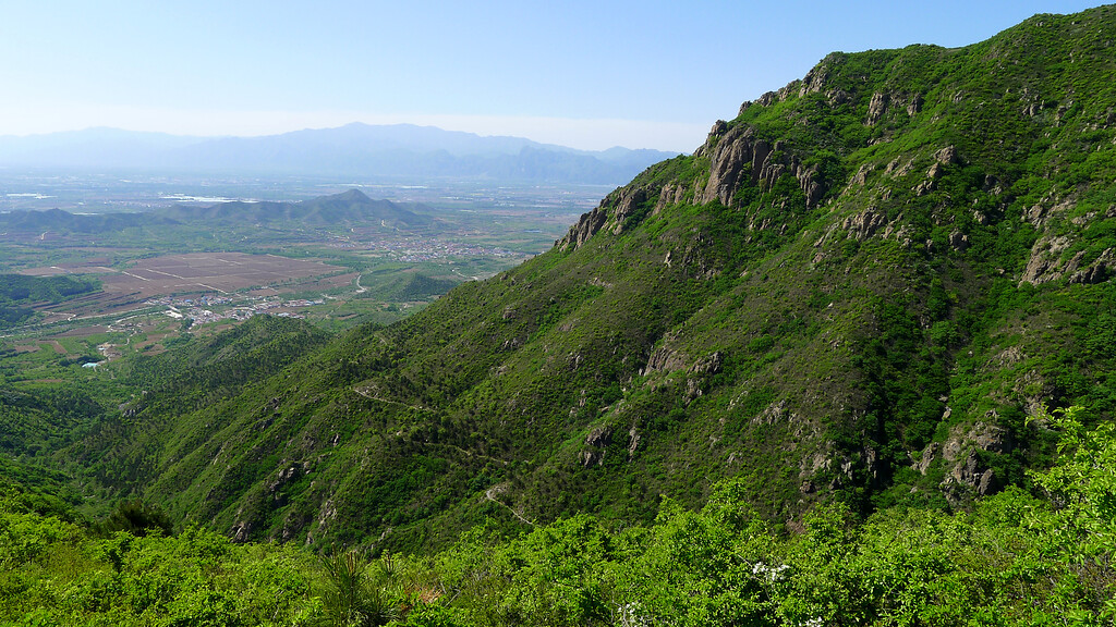
A clear trail leads up the ridgeline, twisting around crags on the way towards the peak. As we come closer to the peak, we get views towards Changping and the Ming Tombs. If the weather is clear, the Ming Tombs Reservoir and the Tianchi Reservoir can be seen off in the distance, as well as the Great Wall in the Longquanyu and Huanghuacheng area.
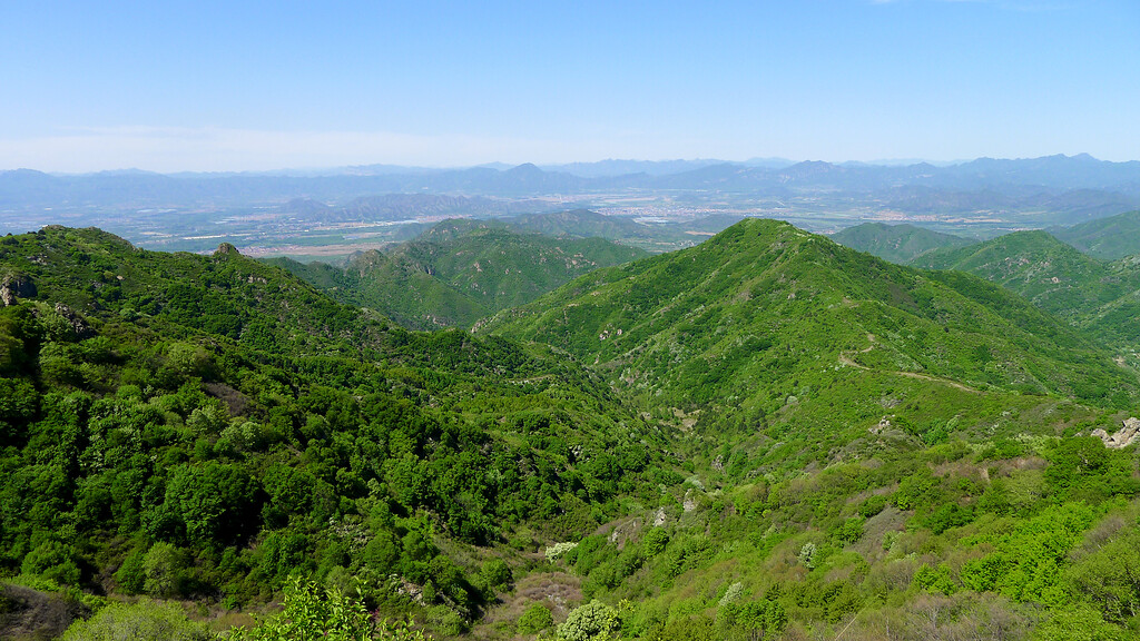
We’ll skirt around the very top of the mountain, going through forest a few tens of metres below the actual peak, and then down the ridge on the other side. From this ridgeline the views are to the northeast, with the Guanting Plain and reservoir off in the distance.
After hiking an easy gravel track down to some high meadows, we turn down onto a steep but fairly open track that goes below cliffs and down into a valley. After a long section of rocky, gravel track, we get on to easier trails and finish the hike with a long walk out to the edge of fields belonging to a small farming village.